The Quantock Hills

The Quantock Hills National Landscape was the first Area of Outstanding Natural Beauty created in England and received it protected status in 1956, which means that its distinctive character, natural beauty and cultural heritage are so outstanding that it is in the nation’s interest to safeguard them. This precious and ancient place with its distinct cultural heritage and village communities is hugely valued locally as a native or adopted homeland and workplace, as well as a favoured educational, recreational and even spiritual resource. It includes many footpaths and bridleways making it a great place for exploring.


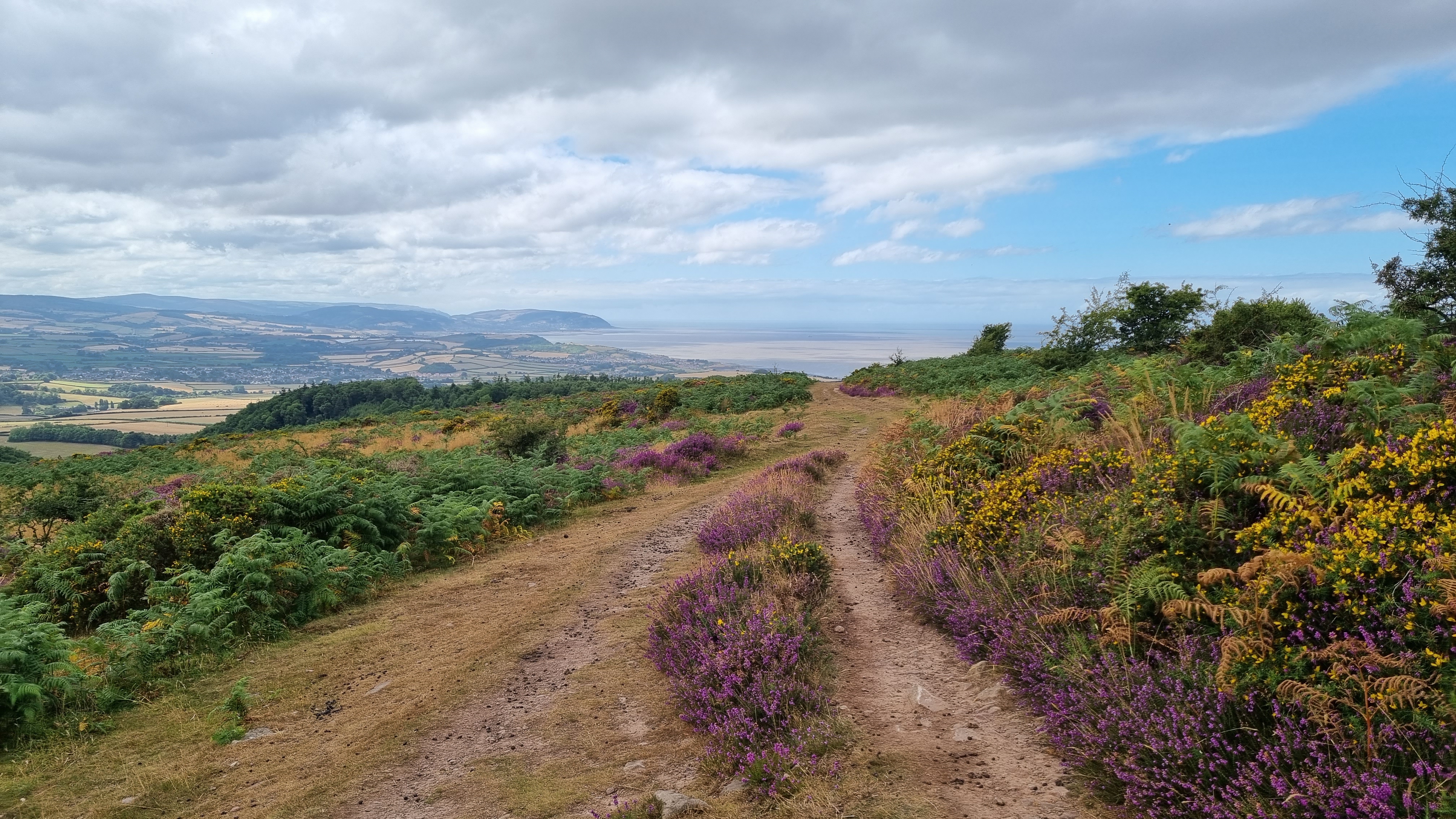
The Quantock Hills are an area of wilderness and tranquillity. Panoramic views lead you through coast, heath and combe. Explore and you will find rocky Jurassic coastline, exposed heathland summits, deep wooded combes, undulating farmland and attractive villages all within this protected landscape.
Kilve, at the east of the Quantocks coastline, is a picturesque village where you will find the ruins of the old Chantry, founded in 1329 and once used for storing barrels of spirits smuggled in to Kilve Pill, and The Hood Arms, an historic 17th Century coaching inn. In the centre is East Quantoxhead with its tranquil duck pond and Court House at the heart of the estate. To the west is St Audries (also known as West Quantoxhead) with its stunning beach waterfall and backed by parkland and hills.
Nether Stowey, inland from the coast and once the home Samuel Taylor Coleridge, is the start point of the Coleridge Way, a 51 mile hike in the footsteps of Coleridge and William and Dorothy Wordsworth that crosses The Quantock Hills and Exmoor to reach Lynmouth in Devon, and The Castles and Coast circular walk that heads out to the coast past Stogursey Castle and returns on old carriage roads and rolling coastal farmlands.
The beaches here are mostly rocky, but most also include stretches of sand. They all fall within the Blue Anchor to Lilstock Site of Special Scientific Interest (SSSI) which protects the cliff face and the foreshore to preserve it’s geological and historical interest – the rock strata are clearly visible both onshore and in the cliffs, and the eagle-eyed can spot fossils on most beaches but be aware that its protected status means that removing fossils from the cliffs or bedrock is prohibited (although loose fossils found on the shore may be collected) .
NOTE: access to and from the beaches here is limited and coves and areas of the shore can become cut-off at high tides so please ensure that you check tide times if you plan to walk on the shore or spend time there.